EM&A Data
Search Water Quality Monitoring Results
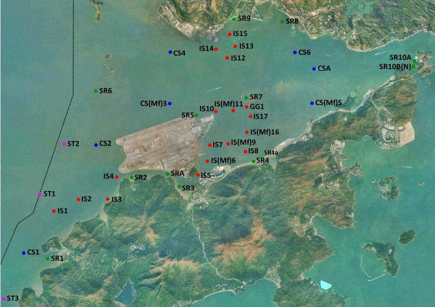
© The Government of the Hong Kong SAR, Map reproduced with permission of the Director of Lands.
Monitoring Station:
IS10A
IS14
IS(Mf)6
IS12
SR9
IS1
SR7
SR2
SR10B(N)
SR4(N2)
SRA
SR10B
SR4(N3)
CS4
ST3
IS2
IS10(N)
SR8
SR2(A)
SR5
SR10B(N2)
IS5
SR6
IS3
IS10
SR5(N)
SR1
IS17(N)
SR4a
CS(Mf)5
IS8
IS4
CSA
CS2(A)
IS(Mf)16
IS13
SR4(N)
SR3
ST1
SR5A
IS7
CS(Mf)3(N)
SR4
SR10A(N)
IS17
IS8(N)
CS1
CS2
CS6
IS(Mf)11
SR3(N)
IS15
IS(Mf)9
SR10A
CS(Mf)3
ST2
Year:
2023
2022
2021
2020
2019
2018
2017
2016
2015
2014
2013
2012
Month:
2
1
12
11
10
9
8
7
6
5
4
3
Notes:
1. The dataset was updated on 29 Sep 2023.
2. Monitoring stations where impact monitoring have not yet commenced are not available for selection.